
Coastal Plain
The Swan Coastal Plain is a broad, flat area of wetlands with farms and mixed land use that continues to undergo significant change. Much of the estimated 60% growth in the Region’s population will be housed here by 2030 and many farms are morphing to new suburbs, rural residential estates and commercial areas (Government of WA, 2010). Perth’s rapid growth continues to expand into the southern parts of this area and increasingly the Peel Region is bundled by Government as “Perth and Peel”.
The Plain has been significantly cleared, drained and modified, but retains much of its natural and rural character. Waterways dissect the Plain, such as the Serpentine and Murray rivers, but most meander into broad, flat wetlands after leaving the Darling Scarp before being directed into man-made drains.

The Palusplain
Seventy-two percent (134 783 ha) of the subsystem is wetland, mostly continuous flat seasonal wetlands called palusplains. Under natural conditions the palusplains and damplands provided a natural water-purifying function for the Peel-Harvey Estuarine System. Historic agricultural and townsite development has resulted in the palusplain being drained, causing water and nutrients to flow off the wetlands more quickly, carrying nutrients, organic matter and sediments from farms and towns into drains, rivers and the Estuary. Drains have made settlement and farming of the Coastal Plain possible, but have contributed to the eutrophication of the Peel-Harvey Estuary. There is much work to be done to replace or return the water-cleaning function of the Coastal Plain’s waterways and wetlands. As our rainfall continues to decline there is a decrease in flow in drains and an increasing interest in holding back the water for farming.
Flora and Fauna
The predominately cleared Coastal Plain is intersected by isolated remnants of native vegetation. Only 16% of the land of the coastal plain now supports native vegetation. This has increased 1% since 2014. Native vegetation consists of private remnants (14%) and conservation reserves (2%). These are important refuges for a diversity of flora, fauna and vegetation types including banksia, melaleuca, and marri woodlands and wetland heaths.
Conservation areas such as Lowlands Conservation Estate and Buller Nature Reserve support fauna that has largely disappeared from the remainder of the Coastal Plain, both north and south of Perth. Species such as the rakali (native water rat – Hydromys chrysogaster) provide important benchmarks for the health and ecology of the Coastal Plain. The rakali eats a range of aquatic fauna such as insects, fish, crustaceans and mussels which it can find in the Serpentine River adjacent to lowlands. Freshwater mussels, an indicator of good water quality, are found in an ever-decreasing number of waterways on the Coastal Plain. River health assessments undertaken in 2020-21 are providing benchmarks to measure the change in ecological health over time.
Other fauna characteristic of the Coastal Plain are the southern brown bandicoot (Isoodon obesulus) and Carnaby’s black cockatoo both of which are under threat due to habitat loss and degradation.

Carnaby's Black Cockatoo
Calyptorhynchus latirostris
Photo: Keith Lightbody

Rakali
Hydromys chrysogaster
Photo: Tracy Oliver

Quenda
Isoodon obesulus
Photo: L Valentine
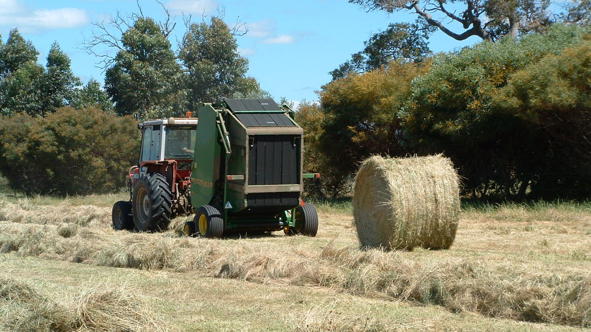
The Coastal Plain is largely held in freehold ownership and used for broadscale and intensive agriculture, rural residential estates, equestrian estates and residential areas. Agriculture is a significant part of the Plain’s social and economic fabric and is worth at least $195.4 million p.a. and includes beef grazing, dairy, poultry, vegetable growing and hay production. However, declining terms of trade over recent decades has made more traditional agricultural enterprises less profitable, resulting in increasing pressure for land-use change. This is exacerbated by the spread of urban and peri-urban development, presenting a range of issues arising from the associated change in land use. Small areas of the Plain are also covered in mining tenements for mineral sands.
Soils
Many of the soils of the Coastal Plain have poor nutrient retention properties due to their predominately sandy nature. Combined with the extensive drainage network, excess nutrients and associated organic matter are quickly transported to downstream environments, including lower river reaches, wetlands and the Peel-Harvey Estuarine System. Some areas support deep sandy soils (e.g. Bassendean Sands), and others are duplex sands and loams (e.g. Pinjarra Plain). All of these soils are able to be used for agriculture, but often with an unavoidable loss of nutrients, the extent to which depends on the type of agriculture, soil characteristics and the measures put in place to reduce nutrient loss risk.
Resilient Farming Community
Despite economic, climatic and production challenges presented over the past few decades, our farming community continues to adapt and rural production remains strong. Production within the Peel Region represents 10% of WA’s glasshouse and nursery production, 30% of WA’s pig production, and the overall income exceeds $324 million. Farmers markets have also delivered new marketing and income opportunities for growers.
Monosulfidic Black Ooze
An emerging issue which affects water quality is monosulfidic black ooze (MBO). MBO is a sludge-like material that is rapidly accumulating in the Region’s rivers, lakes and Estuary. When disturbed, such as through dredging, MBOs can have a devastating ecological impact on waterways by releasing contaminants, reducing aquatic oxygen levels and potentially resulting in fish deaths. The role of sediment entering waterways via the drainage network and leading to the formation of MBO requires further research.
Changing land use on the Coastal Plain (e.g. from agriculture to residential) does not in itself improve water quality or the condition of any natural resource. All development types can put natural resources, including water quality, at risk.
The challenge is for land managers to understand the opportunities and responsibilities they have to better manage their land and natural resources, and implement best practice and innovation.
Statistical Snapshot
For a detailed comparison of current statistics (2020) to previous (2014) click here


Rural Drains
There are 1330 kilometres of waterways (artificial and natural) in the Peel-Harvey coastal plain catchment, including 1014 km of waterways which make up the Mundijong, Waroona & Harvey Gazetted Drainage Districts. These gazetted waterways are managed by the State Government’s drainage service provider, the Water Corporation.
Management of sediment and vegetation in the bed of the region’s drainage system may provide a significant opportunity to reduce nutrients entering the estuary. It is estimated that of the 870 tonnes of phosphorus that enters the drainage system an annual basis, 140 tonnes make it to the estuary. Seven hundred and thirty (730) tonnes of phosphorus are therefore contained within the sediments and vegetation in the bed of the waterway channels each year.
A ten percent improvement in the attenuation capacity of the drainage system could halve the amount of phosphorus entering the estuarine system and approach Environmental Protection Policy targets. Changes are required to be made to management of all components of the region’s drainage system. The key opportunity in the feeder waterways (usually privately owned non-gazetted waterways,) is to avoid fertilizer spread and control stock access to the waterway corridor via fencing. The key opportunity on lower reaches (usually the gazetted waterways) is to manage the waterway’s sediments and conveyance functions.
The PHCC strongly encourages the Economic Regulation Authority of WA and the Department of Water to review the conditions under which the State Government’s drainage service provider operates. This review should seek to include performance criteria in the licence related to the control of sediments and drain cleaning practices. Additionally, future contracts or licences for the management of gazetted drains should also engage landowners who discharge to or otherwise benefit from the gazetted drainage system. This should be undertaken with a view to setting basic standards of drainage management, such as fencing and controlled access to drainage corridors.
Management of rural drains should take into consideration contemporary research, with particular regard for the decrease in flow as a result of climate change.
